🛰
🛰️

2SFCA Spatial Accessibility Research

Application of 2SFCA Model to Identify and Analyze Spatial Access Disparities to Digital Retail Outlets in Kolkata.

Introduction

The title of our dissertation is: “Application of the 2SFCA Model to Identify and Analyze Spatial Access Disparities to Digital Electronics Retail Hubs in Kolkata.” This map shows the Kolkata Municipal Corporation area, along with the spatial distribution of identified digital retail outlets. The green points represent these digital retail locations. The main aim of our study is to understand how evenly these digital service hubs are distributed across the Kolkata Municipal Corporation area. To analyze this scientifically, we have used a GIS-based accessibility model called the Two-Step Floating Catchment Area (2SFCA) model, which helps us measure spatial accessibility and identify inequality in service distribution.

Research Objective

Identify Spatial Disparities:

Find which wards have high access and which have low access.

Measure Spatial Accessibility:

Understand how easy or difficult it is for residents to reach digital retail outlets.

Use The 2SFCA Model:

Apply a realistic model that includes distance, supply of outlets, and population demand.

Locate Underserved Areas:

Detect the wards that have fewer digital facilities compared to population needs.

Support Digital Inclusion:

Ensure equal access to digital services for all socio-economic groups.

Methodology

Data Collection
Data Processing
Euclidean Distance Calculation
Road Network Analysis
OD Cost Matrix
Service Area Calculation
Weight Value Assignment
Suitable Site Selection
Location Allocation
Relative Accessibility Calculation
Result Output & Interpretation

Click any node

Details will appear here

Analysis

Conclusion

This study examines spatial disparities in access to digital retail outlets in Kolkata using the 2SFCA model. The results show that digital retail services are not evenly distributed across the city's urban landscape. The study highlights the importance of understanding accessibility in cities where digital infrastructure is rapidly growing. Kolkata, with its diverse social and spatial structure, clearly shows these inequalities in access. The findings can help planners, policymakers, and service providers make better and more fair decisions. Overall, this study emphasizes the need for more spatially balanced and inclusive planning to support equitable digital development in the city.

Research Paper

Access the complete dissertation report containing detailed methodology, analysis, results and discussion.


📄 View Full Dissertation

Acknowledgment

This dissertation would not have been possible without the guidance and academic stewardship of Dr. Ratnadeep Ray, Head of the Department of Earth Sciences & Remote Sensing. His scholarly direction, critical appraisal of ideas, and sustained intellectual encouragement significantly shaped the development and completion of this research. We gratefully acknowledge the faculty members of the Department of Earth Sciences & Remote Sensing for their academic support, intellectual engagement, and for maintaining a rigorous and conducive research environment throughout the period of this study. We also acknowledge the collective contribution of the dissertation research team, whose coordinated academic efforts, analytical discussions, and shared responsibility were integral to the successful execution of this work.

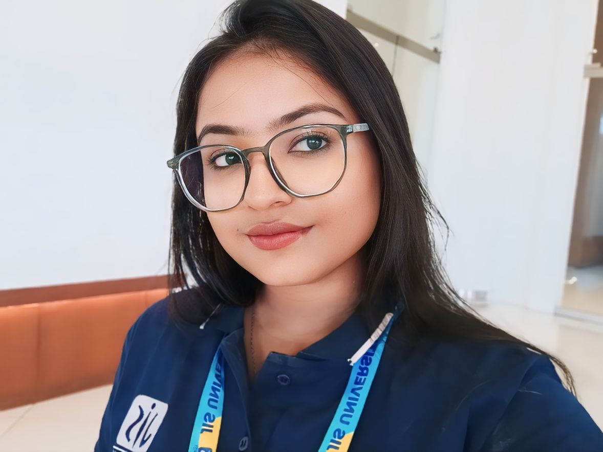
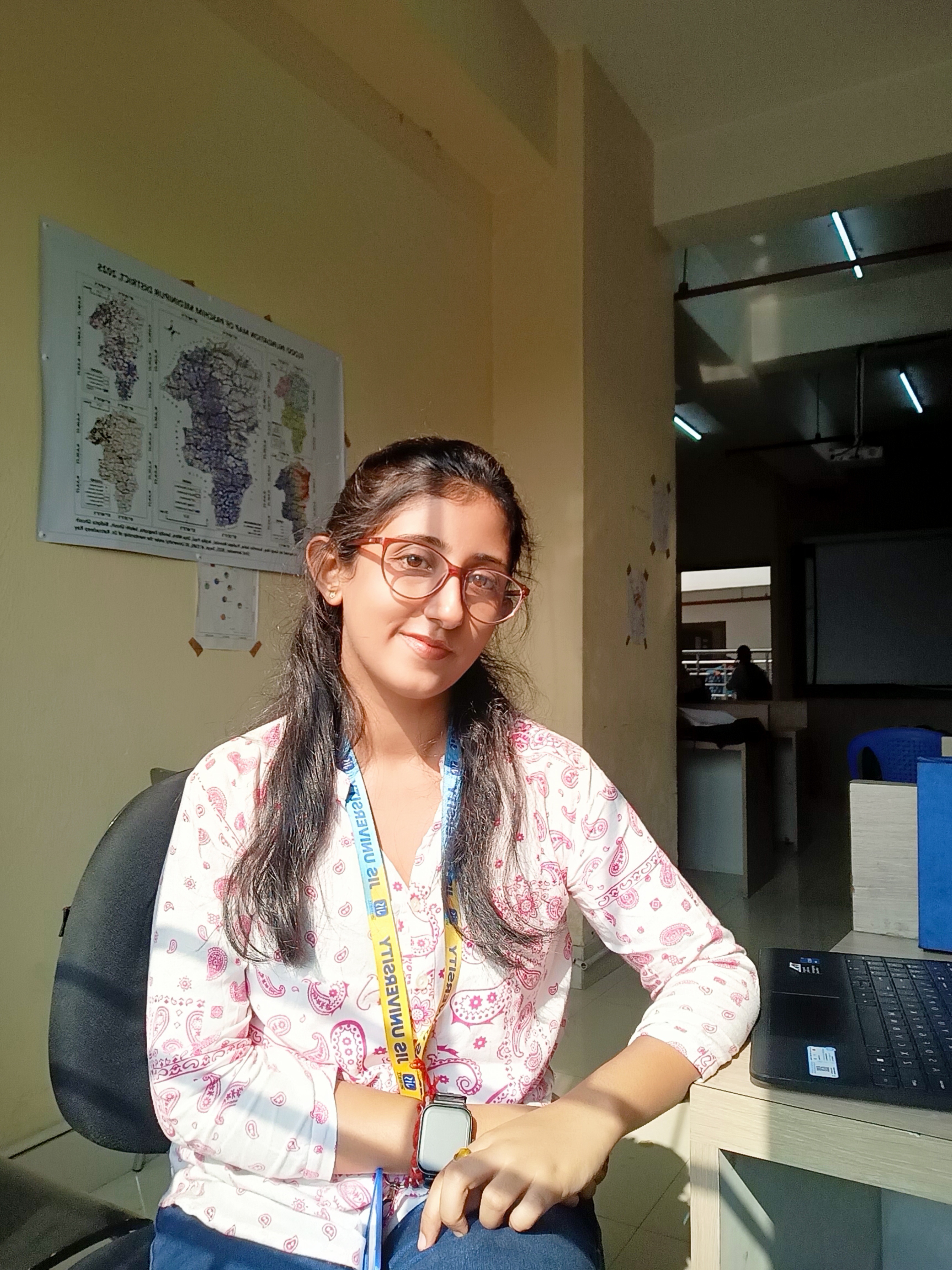
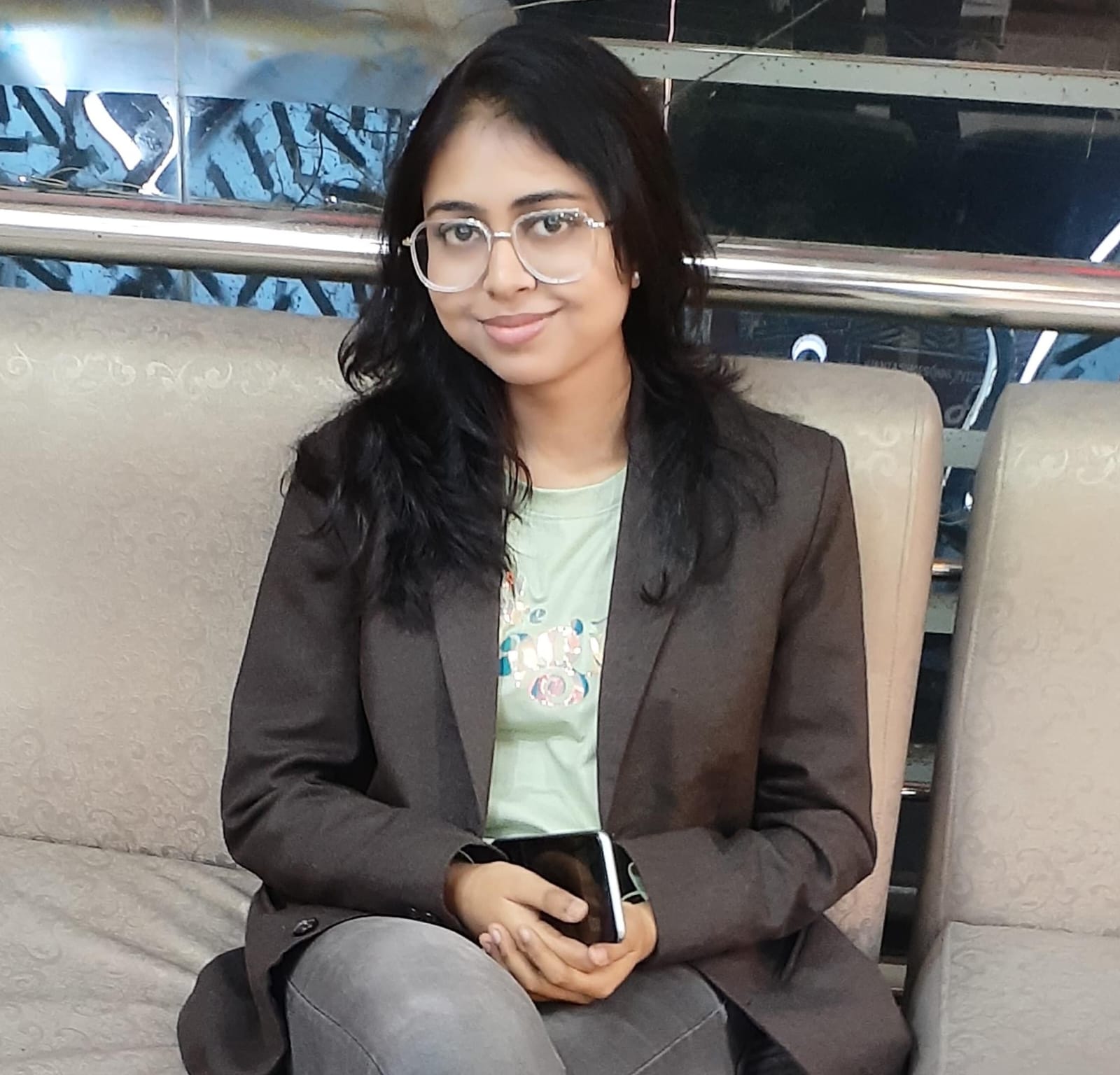
Meet Our Team

Dr. Ratnadeep Ray

Research Mentor

HOD, Department of Earth Sciences & Remote Sensing

📧 ratnadeeprayrsgis@gmail.com

Shilpa Ghosh

Student (JIS University)

Designer & Developer of This GIS Dashboard

📧 shilparem456@gmail.com

Sudipa Gop

Student (JIS University)

📧 gopsudipa@gmail.com

Bristi Dutta

Student (JIS University)

📧 duttabristi15@gmail.com

Shreya Chowdhury

Student (JIS University)

📧 chowdhuryshreya78@gmail.com

Rani Maji

Student (JIS University)

📧 ranimaji843@gmail.com

Godhuli Das

Student (JIS University)

📧 gdas39915@gmail.com